Although we have had a reported 69% of normal rainfall in Los Angeles, to date in this year of an alleged El Nino has been on the dry side in Ventura County: with a modest 4.74 inches to date in Upper Ojai area.
But not to worry, say the experts, speaking in this case about the San Diego area, in Rob Krier’s story today:
After a super stormy stretch last week, San Diego County has warmed up and dried out. And the forecast for the coming week calls for a few spritzes locally, but that’s about it.
Has El Niño, the periodic phenomenon that shifts the storm track and holds promise of drought relief for parched California, left us in the lurch?
Nope. It has merely shifted its focus for the time being.
“Things are proceeding as we would anticipate,” said Mike Halpert, deputy director of the Climate Prediction Center in Maryland. “Looking at our (computer) models, everything is consistent with what we’ve been saying.”
[edit]
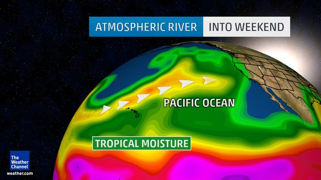
The Climate Prediction Center’s Halpert said the current El Niño remains strong, which should lead to “general storminess most of the winter” over much of the West Coast. Sometimes the jet stream, which steers storms around the globe, will be pointed at Southern California, and sometimes it will be aimed farther north.
In the typical winter without El Niño, ridges of high pressure in the North Pacific grow and shrink, and may shift east or west. During the past few winters, what forecasters came to describe as a “ridiculously resilient ridge” of high pressure set itself up in the region, blocking many storms from reaching California.
There’s no ridge to speak of in the North Pacific this year, Halpert said, so the storm-bearing jet stream has no major barriers to avoid.
“We’ve got 21/2 more months of winter,” he said. “We expect a continuation of periods that are quite wet along the West Coast.”
It’s just a case of where the firehose points: this week, it’s Northern California.